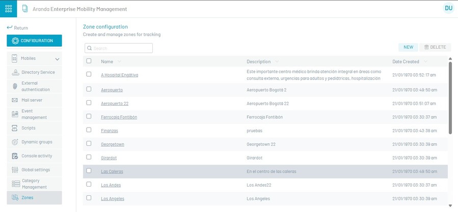
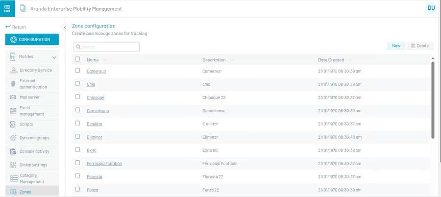
The zones section is intended to manage the sites or strips that will later be used in the configuration of rulesets that have the item “Geofencing” (Geographical Border).
To configure a geographical zone, go to the zones section and click New.
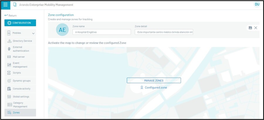
Enter the requested data Name and Description.
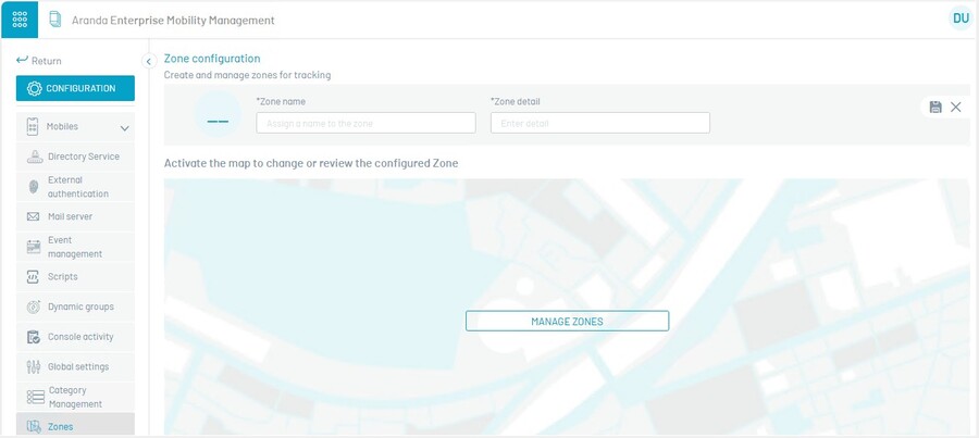
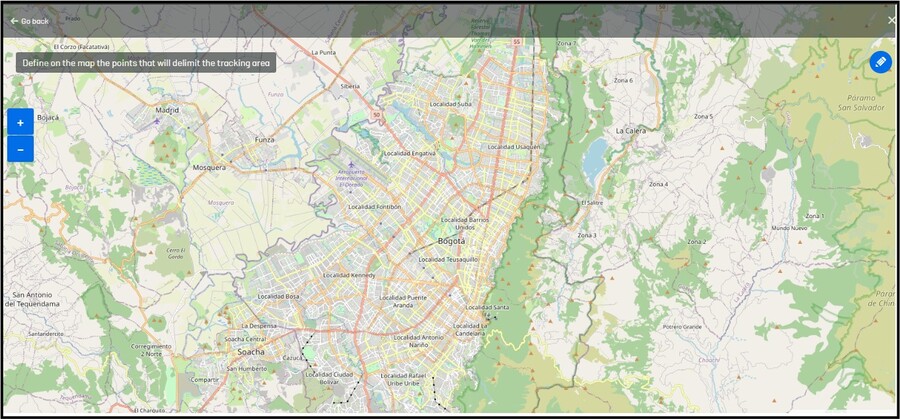
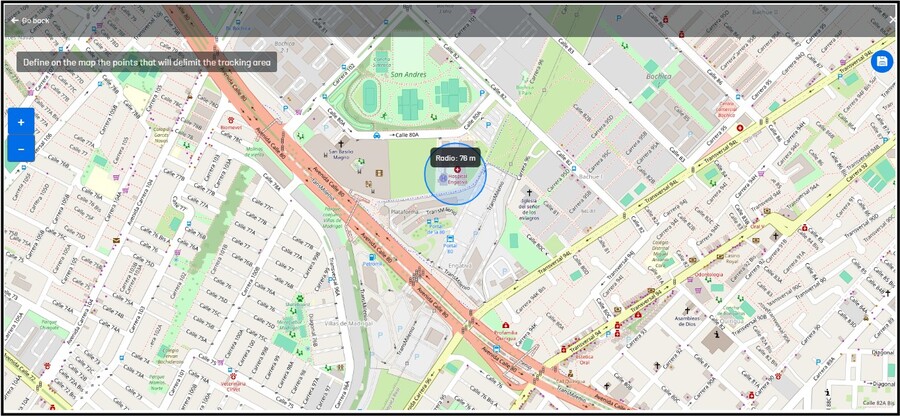
After clicking on Manage Zones, a map will be displayed where the administrator can search and select the zone, he must click on the blue circle and release to mark the center of the zone, and he must move the cursor to expand or decrease the radius of the zone, click at the end to finish drawing the zone.
If you wish, you can edit the already drawn area, by clicking on its center to change its place or by clicking on its edge to change the size.
If you click outside the already drawn area, the process will start again.
Click Save to store the selected zone range.
Finally, click Save to store the area.